What is meant by aerial survey?
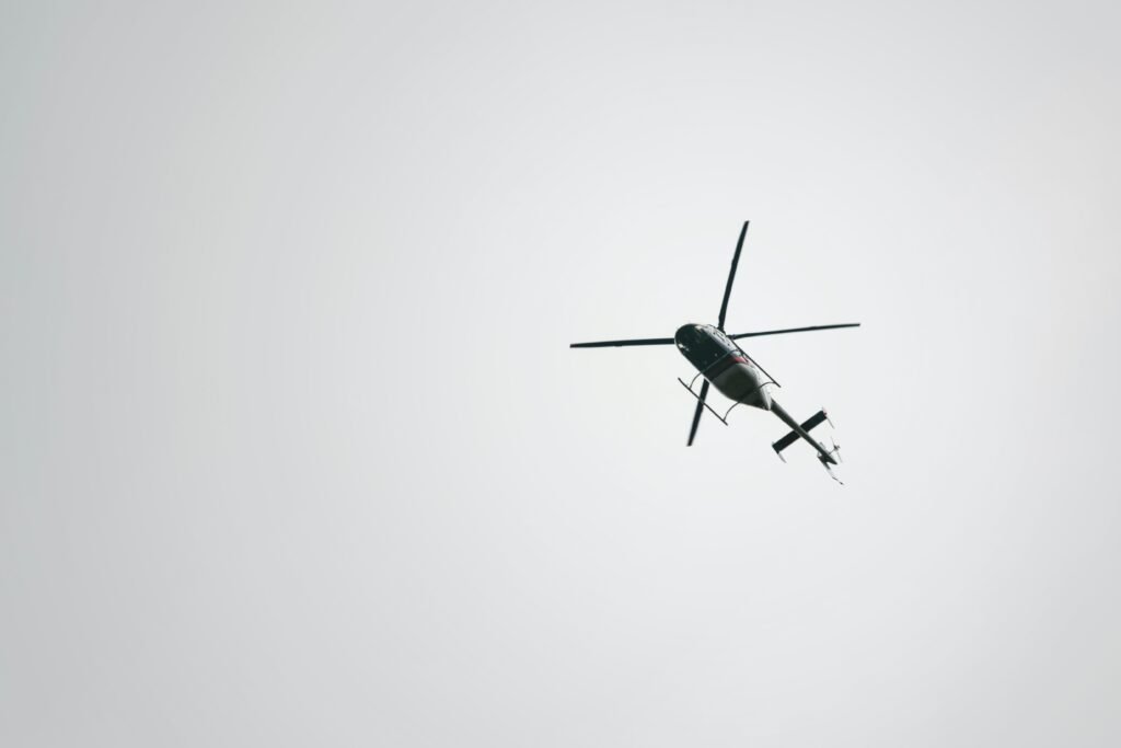
An aerial survey is a survey made from the air that maps an area by means of aerial photography, photogrammetry, and the like. Aerial surveys are often used to map large areas, such as those that have been affected by natural disasters or man-made events. Aerial surveyors use this information to monitor environmental conditions, such […]
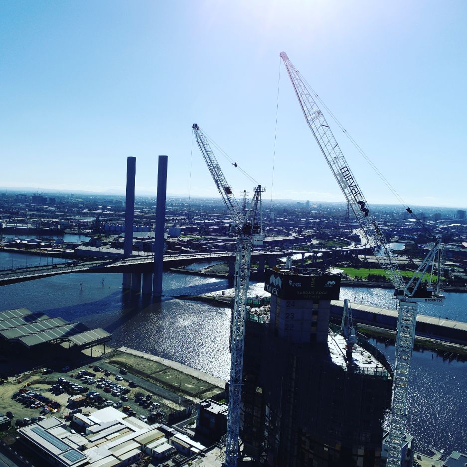
What Is An Aerial Inspection?
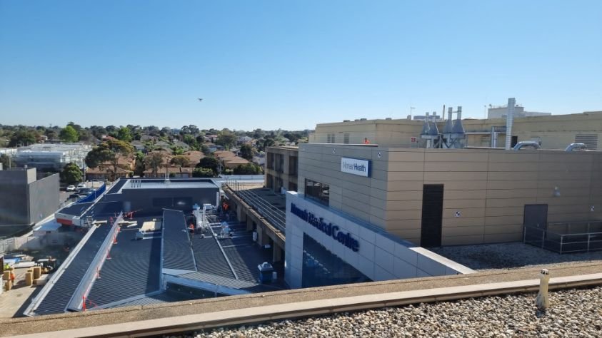
Aerial inspection is the process of using drones or other aircraft to inspect an area from above. This can be useful for inspecting large areas, inspecting buildings or infrastructure, or monitoring environmental conditions. Aerial inspection, commonly referred to as aerial surveying, can provide a valuable perspective that is not possible from the ground. What Can […]
What is LIDAR?

Lidar, which stands for Light Detection and Ranging, is a remote sensing method that uses light in the form of a pulsed laser to measure ranges (variable distances) to the Earth. These light pulses—combined with other data recorded by the airborne system — generate precise, three-dimensional information about the shape of the Earth and its […]
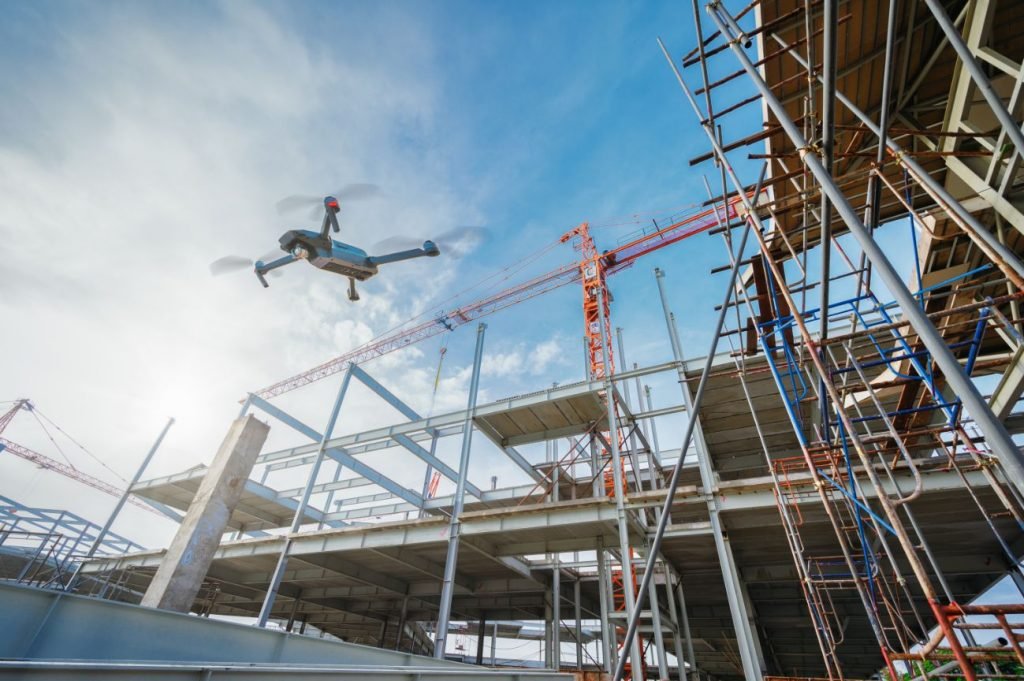
What drones are used for inspections?

Drones that can be used for inspection are: At the end of the day pretty much any drone can be used for drone inspection services. Every drone has their limitations and depending on what you are inspecting really depends on what drone you can use. When we break it down to what the task at […]
Who Is Kapcher?
Put simply, we’re data-loving nerds! Our Aussie-based boutique team are all passionate collectors of data. That’s right, we love collecting the data for people’s assets. Being able to bring the physical world into a digital space is what excites us, as we can use that information to provide the best decision-making data to our clients. […]
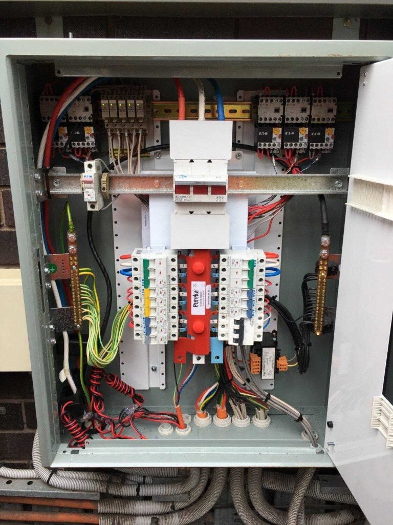
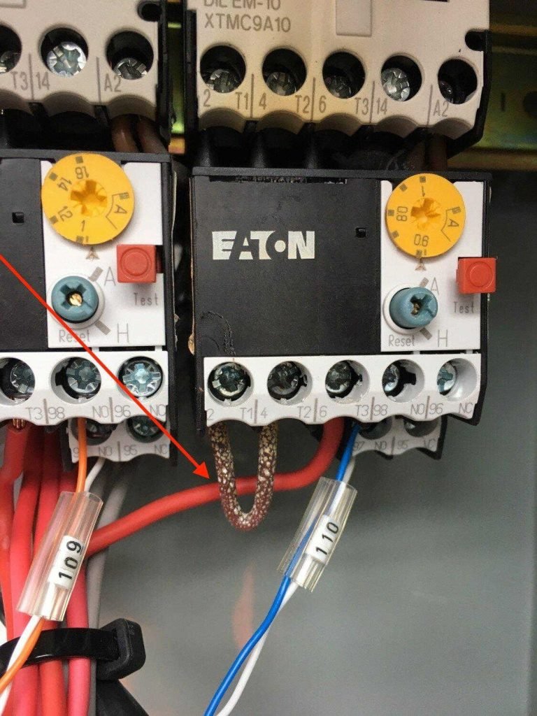
Importance Of Data Collection
Understanding the Importance of the Data Collection Process In our modern times of digital twins and remote asset inspections, there is one crucial factor that is now being overlooked by many businesses: the data collection process. The acquisition process is the most important step when it comes to digital twins and remote inspections. If you […]
In House Drone Operations For Your Business
Have you been contemplating in house drone operations for your business? Maybe even becoming a competitor for Drone Inspections Melbourne? You aren’t alone. It seems like in the past few years, more and more companies have been jumping into the UAV game. And why not? Drone mapping offers a savings of three times the cost […]
Why Drones Aren’t The Be All And End All
Why Drones Aren’t The Be All And End All The Pros and Cons of Using a Drone For Business It’s no secret that drones have revolutionised the way we do things when it comes to business. From drone inspections, to increasing the safety of our team, and even search and rescue operations, they have varied […]
The Heart Of Your Business
What comes to mind when you think of the heart of your business? ● The culture? ● The people? ● Your product? ● Amazing customer service? Sure, these things all contribute to your business but do they keep it running? At Kapcher, when we think about the heart of your business, our minds go straight […]
Why architects should use point cloud data on their next project.
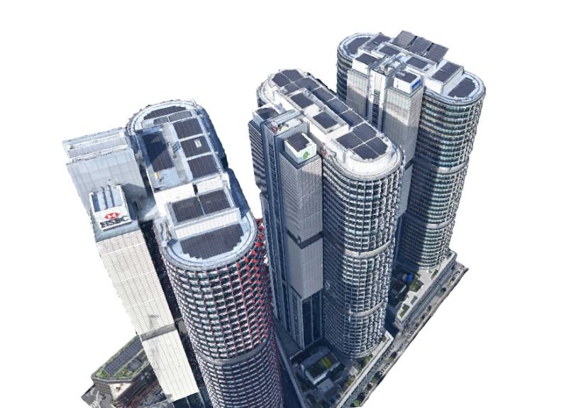
Why Architects Need Point Cloud Data For Their Next Project The role of an architect is both varied and skilled. From creating designs for new construction projects to planning alterations and redevelopment, they hold specialist construction knowledge and insights that enable them to effectively produce highly-skilled building designs that are functional, safe and aesthetically pleasing. […]