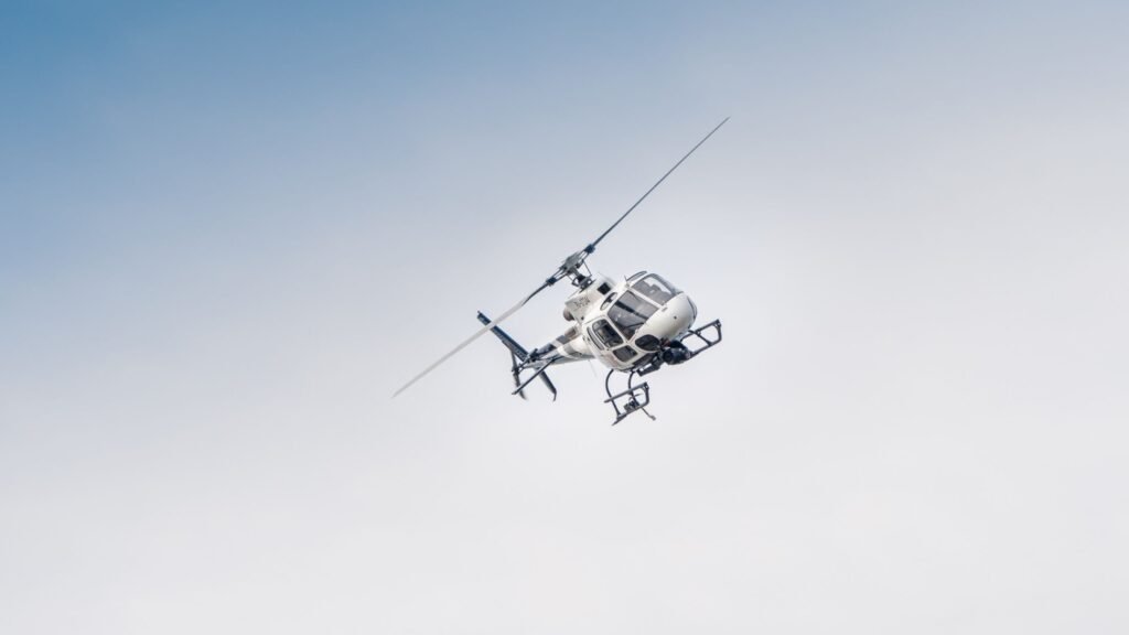
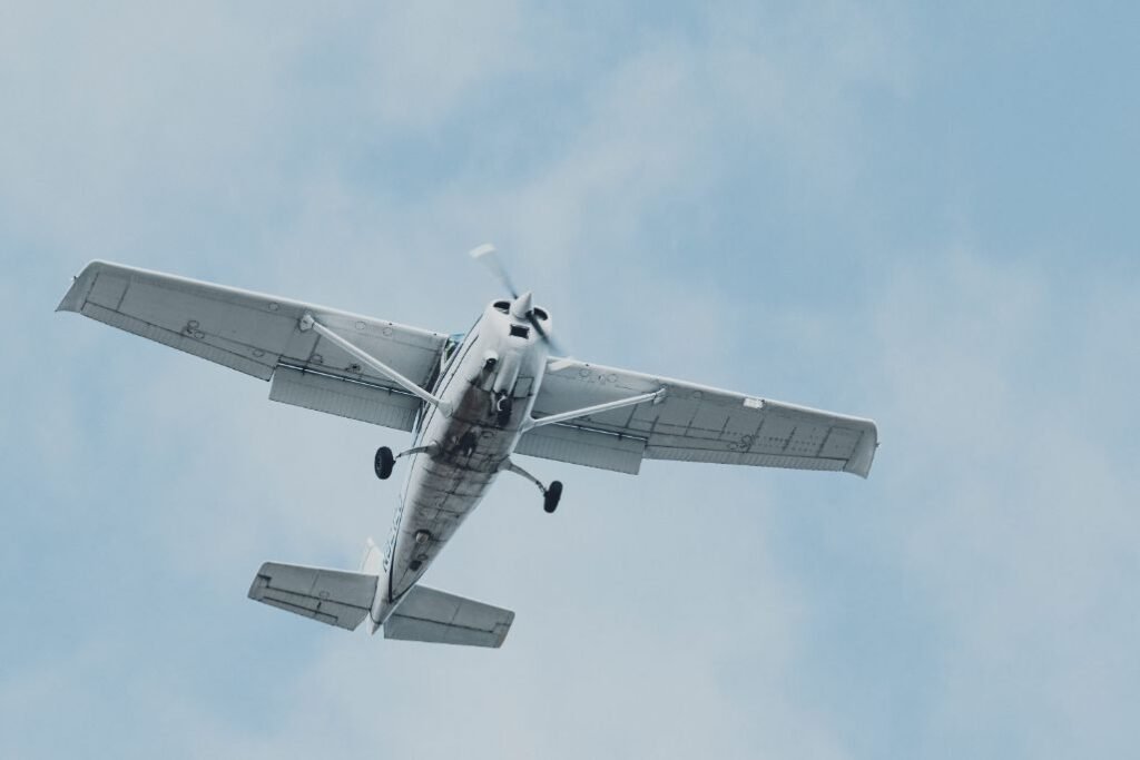
An aerial survey is a survey made from the air that maps an area by means of aerial photography, photogrammetry, and the like.
Aerial surveys are often used to map large areas, such as those that have been affected by natural disasters or man-made events. Aerial surveyors use this information to monitor environmental conditions, such as the progress of deforestation or the effects of pollution. Aerial surveys are also sometimes used for security purposes, such as monitoring borders or tracking the movements of enemy forces.
Aerial survey should be distinguished from satellite imagery technologies because of its better resolution, quality and atmospheric conditions. Aerial survey is often recognized as a synonym for aero photogrammetry, part of photogrammetry where the camera is placed in the air. Measurements on aerial images are provided by photogrammetric technologies and methods.
What are the advantages of aerial surveying?
- Fast Capture Speed
- Great Visualization
- Reduces cost
Uses for Aerial Surveying:
• Completing large detail surveys for construction, transport & infrastructure
• Monitoring of construction & site development
• Volumetric calculations for bulk earthworks, stockpiles & landfill
• Hazard assessments
• Disaster & environmental monitoring
It is also ideal for locations with difficult access or high traffic where drones cannot be used (pedestrian or vehicle) which would be impacted by shutdown periods.
Aerial surveying also known as Photogrammetry or Aerial Mapping has been around for years. The advancements in technology and ease of data collection have allowed it to remain at the forefront of survey methods. Once the data is captured it can be further processed to create high resolution orthographic images, digital elevation models and point-clouds giving clients additional deliverable options.
If you want to know how aerial surveys are performed then head over to here.
What is photogrammetry?
Photogrammetry is the science of making accurate measurements from photographs. It’s what we use to turn your photos into highly accurate 2D or 3D models, whether that’s a topographic survey for a mining project or as-built documentation of a construction site.
The benefits of using photogrammetry :
- There are no ground control points required as the software “triangulates” off known features in the images to generate accurate mapping results.
- It’s a fast mapping solution as you can cover large areas quickly and easily from the air.
- You can capture hard-to-access areas no ease
If you are looking to see how aerial surveying can help you and your workflow or want to know what is an aerial inspection, then make sure you get in contact today.