Aerial Surveying Melbourne - Imagery and Mapping Specialists

Think google maps - on steroids

Want to know how we can help?

Aerial Surveying Melbourne

With our aerial mapping services, you’ll be able to see your project from a whole new perspective – quite literally!

They say a picture tells a thousand words but our pictures tell a whole story. We offer high-resolution mapping services that can provide insights for all sorts of projects. From construction and land development to environmental monitoring and disaster relief. And because we use the latest imaging technology and methods of aerial surveying, you can have the richest images known to man right at your fingertips.

We provide imagery with 0.5-2cm GSD resolution which can be used for creating 3D models and Orthophotos.

The orthophoto is widely used in Geographic Information Systems. It is the most cost-effective map product to obtain precise georeferenced information in a 2D environment.  This means that you’ll be able to see your project in incredible detail. You’ll have a mapping product that can be used in conjunction with GPS mapping software.

Why Choose Kapcher for Aerial Mapping?

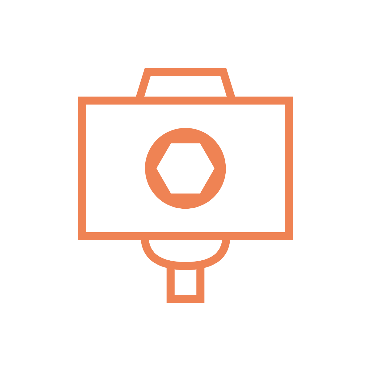
Multifaceted hardware

We aren't locked to one type of hardware when completing aerial surveys. We have LiDAR, camera pods and more.

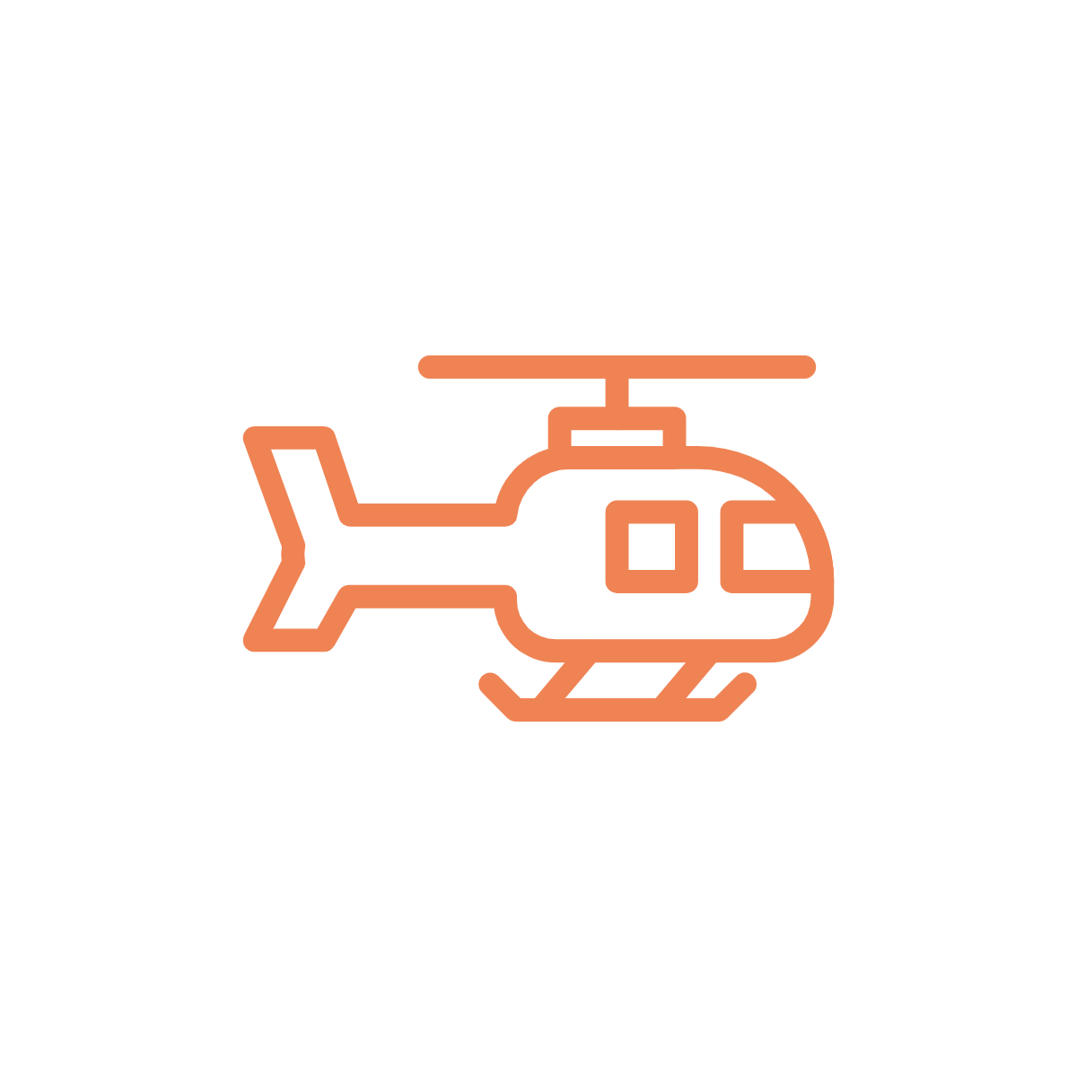
Fixed wing, helicopter or UAV

Depending on the task we can choose the best way to capture the data. Whether it is from helicopter, fixed wing or UAV we can adapt our technology to all types of aerial aircraft.
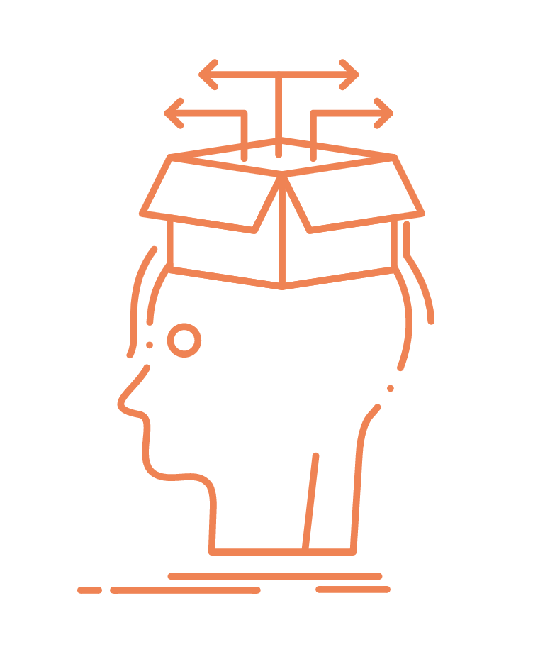
Multiple outputs

Whatever your desired output is, Kapcher can achieve it. Whether it is an orthophoto or high resolution 3D mesh, we have the knowledge and understanding on how to capture and process all types of data sets to reach the desired output.

Specialists in 3D Reality Modeling

 Kapcher provides its clients with a range of 3D reality modeling products and services. These are all based on photogrammetric and visualization techniques.

We have completed many projects that combine aerial acquisition from multiple platforms such as aircraft, helicopters and UAVs as well as street-level imagery. We use this data to generate and build a seamless 3D mesh model.

Our 3D data gives you access to high resolution 3D mesh models that provide context to your projects, helping develop and visualize scenarios from a 3D base dataset.

Kapcher also offers RAW data capture. This service allows you to process the data yourself and have full control over the end deliverable!

Address

Melbourne, Australia

Email:

brendan@kapcher.com.au

Phone:

(03) 9122 5294