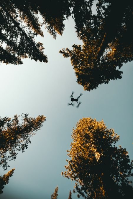
Aerial surveys are a mapping technique that is used to collect data from above. Surveys are typically conducted using aircraft, but can also be done with drones or balloons.
There are many different types of aerial surveying, but the most common is photogrammetry.
What is photogrammetry?
This involves taking photographs of an area from different angles and then using special software to stitch them together into a map.
What types of aerial surveys are there?
Other types of aerial surveys include remote sensing (using sensors to collect data), LiDAR (using lasers to measure distance), and thermal imaging (collecting heat signatures). These are also other methods of aerial surveying.
What are the applications?
Aerial surveys have many applications, including mapping land use, assessing environmental damage, and finding archaeological sites. They can also be used for things like mapping forest fires or tracking changes over time.
What are the advantages of using aerial surveys?
Aerial surveys are a highly effective way to collect data about the environment, allowing scientists to collect information about vast areas with minimal effort. These surveys take advantage of satellite imagery and other remote sensing techniques to obtain accurate measurements of landscapes, vegetation, animal populations, and more. Some key advantages of these methods include their ability to work at any time of day or year, their accessibility to researchers in remote locations, and their ability to provide detailed 3D images that reveal information from angles not easily accessible from the ground. Overall, aerial surveys are a powerful tool for collecting accurate data about our world, making them an invaluable asset for scientists looking to study the natural world.Fast
Capture Speed
Aerial surveys are a fast and effective way to collect data on a large scale. By using aerial drones or helicopters, researchers can capture information quickly and easily, without having to manually measure every square inch of land by hand. Because aerial surveys involve flying high above the ground, they also take advantage of the limited interference from trees and other natural obstacles. This results in much higher speeds than traditional ground-level measurements, making aerial surveys an attractive option for collecting accurate data rapidly. Whether it is assessing damage from natural disasters, mapping forest trails, or monitoring environmental changes over time, aerial surveys make it easy to gather valuable information quickly and efficiently. So if you need to know what’s going on below the clouds, aerial surveys are the way to go!

Great Visualisation
Aerial surveys are a great tool for visualisation and information gathering. By using cameras or other devices mounted to aeroplanes, helicopters, or other craft that can take to the skies, we can gain a bird’s eye view of large swathes of land at once. This allows us to observe the geography and topography of the area, identify potential hazards or obstacles, and gain insight into human demographic patterns. Beyond simply serving as a means of surveying land masses, aerial surveys are also commonly used in archaeology and rescue operations, helping us to map out previously-unknown landscapes in detail and assisting us with rescue efforts during extreme weather conditions.
Reduces Cost
Aerial surveys are an important tool for businesses and organizations that seek to streamline operations while minimizing costs. These surveys rely on advances in technology, such as high-resolution satellite imagery or drones equipped with HD cameras, to collect data on a large scale and at a relatively low cost. Compared to traditional survey methods, which often involve surveying teams manually surveying vast expanses of land, aerial surveys dramatically reduce both time and labor costs. By improving efficiency, these surveys also help to minimize environmental impact and protect ecosystems from ill-conceived development projects. Ultimately, aerial surveys are a powerful tool that can help businesses to thrive while respecting and protecting the environment around them.
In fact most projects are able to be captured in a single flyover with little to no disruption to operations, or the general public.
Wanting to learn more about what is aerial surveying and how this might help you? Make sure you contact us today!